Which places might have been conceptually closer than others?
How does the perception of distance depend upon time?
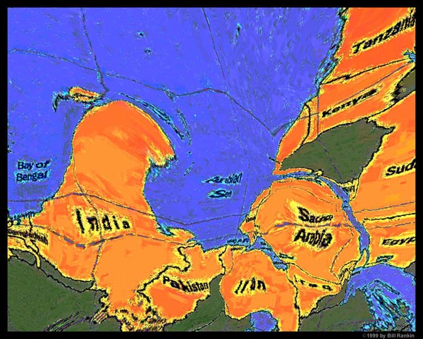
Here's my version.
AlexWarp applet by Alex Rosen - http://www.tiac.net/users/axlrosen/
Bill Rankin, 1999
An attempt to get at both the idea of mental mapping and the impact of time on spatial relationships, by playing with distortions of a modern map to understand medieval trade relations. It's ultimately a bit hokey, as a mental map is certainly not just a "correct" map that's been distorted.
