[mouseover for actual population distribution]
[click here for a site with an animation of county formation in the US]
(I don't know what the various shades mean on this link)
Bill Rankin, 2000
download:
.PDF (849k)
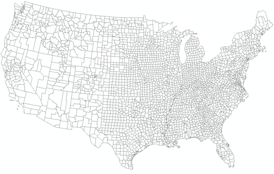
County boundaries show a kind of political density only somewhat related to population. Compare this map with maps of federal land, agriculture, and the US rail network; small counties with metes-and-bounds surveying recall an era of small-landholder farming.
