
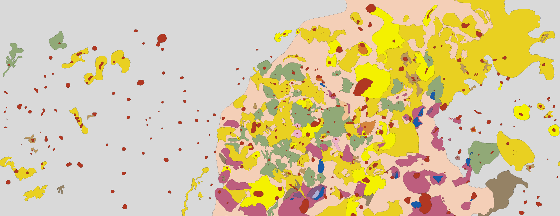
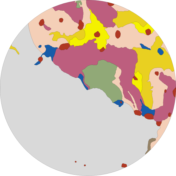
USGS, 1992
Gems of pure beauty, found buried in a government website.
In order, these maps show the north pole, equatorial region (rotated so that north is to the right), and south pole. Each map was originally drawn at a scale of 1:15,000,000.
These files are meant for use in GIS programs; they can be downloaded here.
My thanks to Micah Maltsberger for bringing these to my attention.
