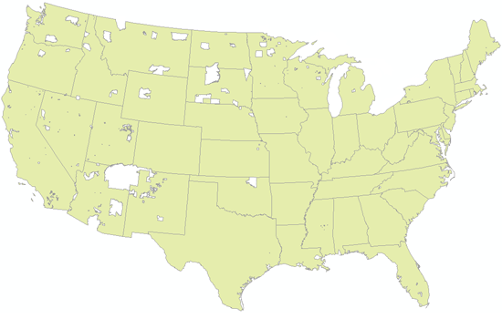
[mouseover for actual population distribution of American Indians and Alaska Natives]
[click here for a site discussing the political status of reservations]
[or click here for the difference between "American Indian" and "Native American"]
Bill Rankin, 2003
download:
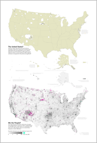
poster (96-dpi .PNG, 2MB)
American Indian reservations are sovereign areas with a state-to-state relationship to the US Congress, but congressional authority overrides tribal law. Reservations are generally not subject to state jurisdiction. What mapping convention corresponds to this political arrangement? One could make a case that reservations should be drawn as part of the United States, but should the Hopi reservation be shown as part of Arizona?
At stake here is the European definition of nation-state sovereignty, which implies a close (and, ideally, consensual) relation between an area on a map and the governance of its inhabitants. It is not simply that a European-style map has a hard time representing the sovereignty rights (or claims) of indigenous peoples; rather, such relations are a priori impossible to depict on a typical map.
I also made these maps into a poster (click to download):

