Bill Rankin, 2007
download:
.PNG (5000x2000, 3.78M)
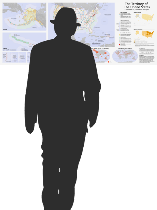
What is the “territory” of the United States? First, what should be included? Most maps show just the 50 states (with Alaska shrunk in the corner), some also show Puerto Rico. Almost none show all the land and water that falls under the jurisdiction of the U.S. government. Second, how should it be represented? How do the systems of land ownership, control, regulation, and governance impact the character of the American landscape?
This wall map is my attempt at an answer. As the subtitle suggests, what I think emerges isn't a unified system of territoriality, but a hodgepodge of different attitudes toward the land and its inhabitants. Different areas under U.S. control have very different relationships to government, both in terms of democratic representation and in terms of land control. (I also show all the areas of the world — land and water — that are, or were, influenced by the U.S. government, using equal-area projections.)
You may notice the ghosts of federal land, U.S. empire, reservations, and counties. But combining them here, along with information about marine boundaries, local government, historical boundaries, etc., begins to show some of the complexities of the United States presense in the world — this map doesn't pinpoint one issue to highlight, but finds new questions emerge from overlapping data.
The full image will display at actual size on most monitors (96 dpi).
